


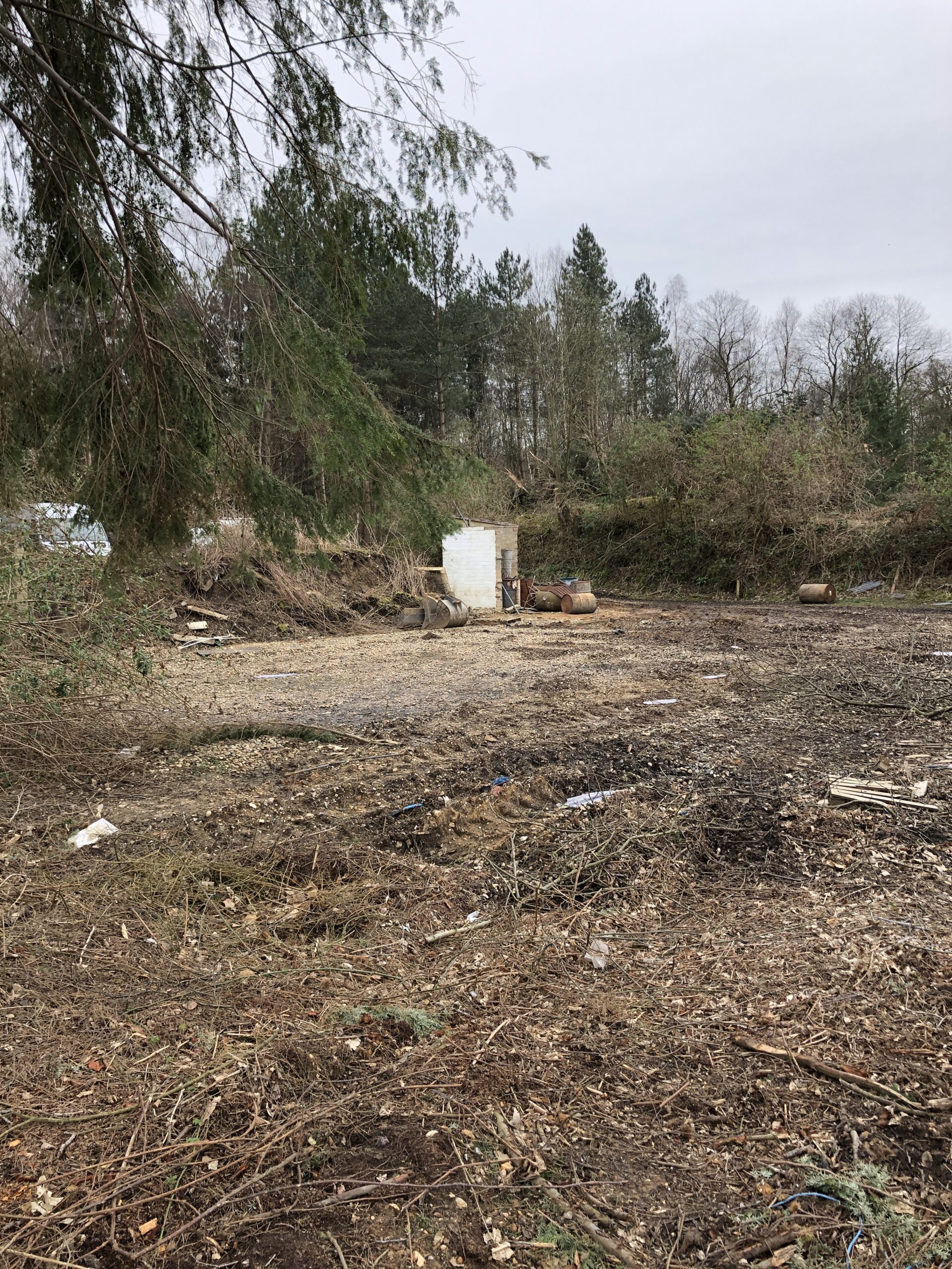
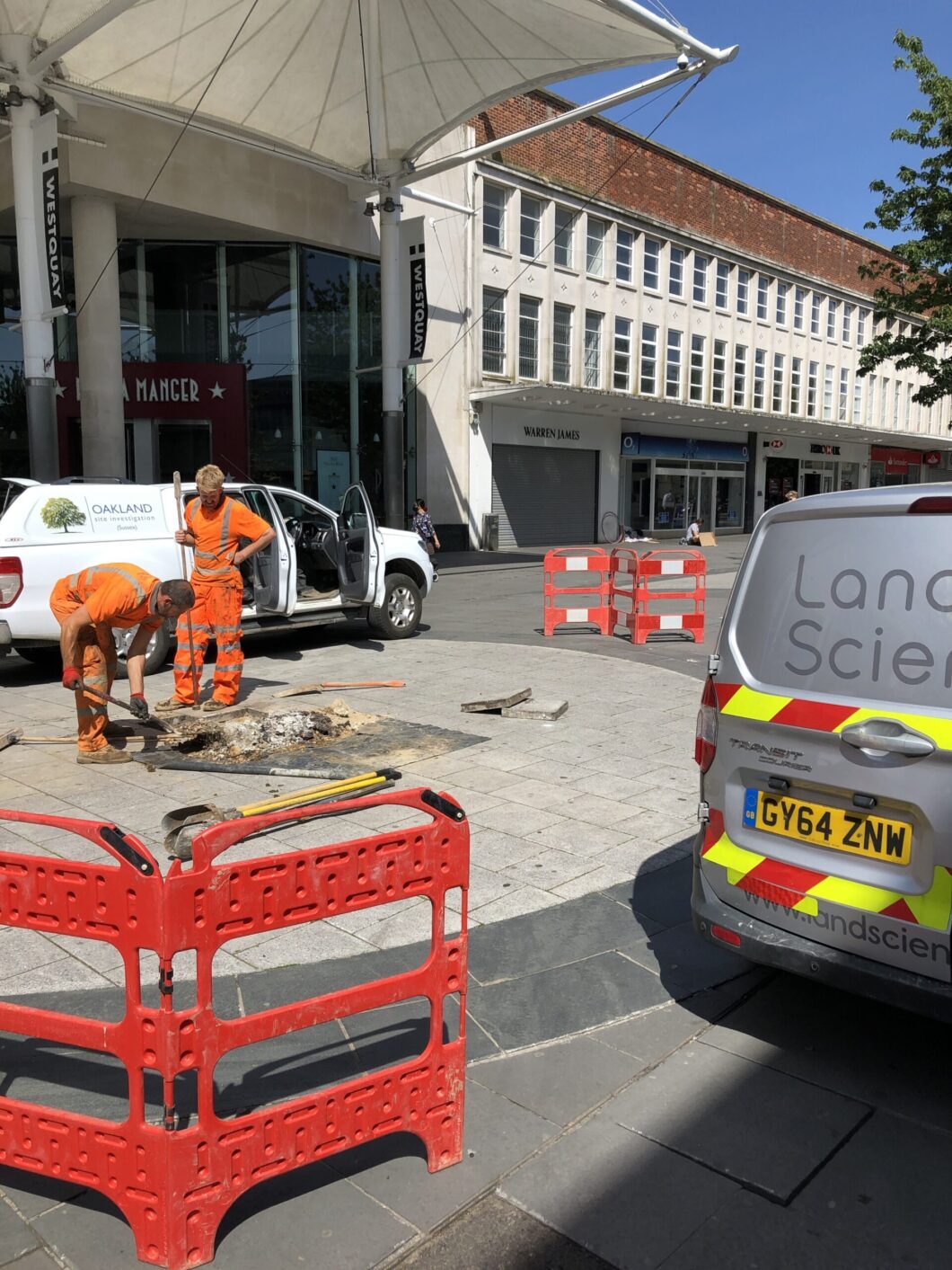
Contaminated Land Assessements
Land Science can assist with contaminated land assessments as part of a planning application or any other purpose prior or during house building, commercial development or creation of new infrastructure.
Land assessments are often required to assess soil contamination or groundwater pollution issues amongst a host of other potential problems. We assist at all phases of the assessment process with comprehensive desk studies, site investigations, contaminated land remediation and validation and post remediation monitoring.
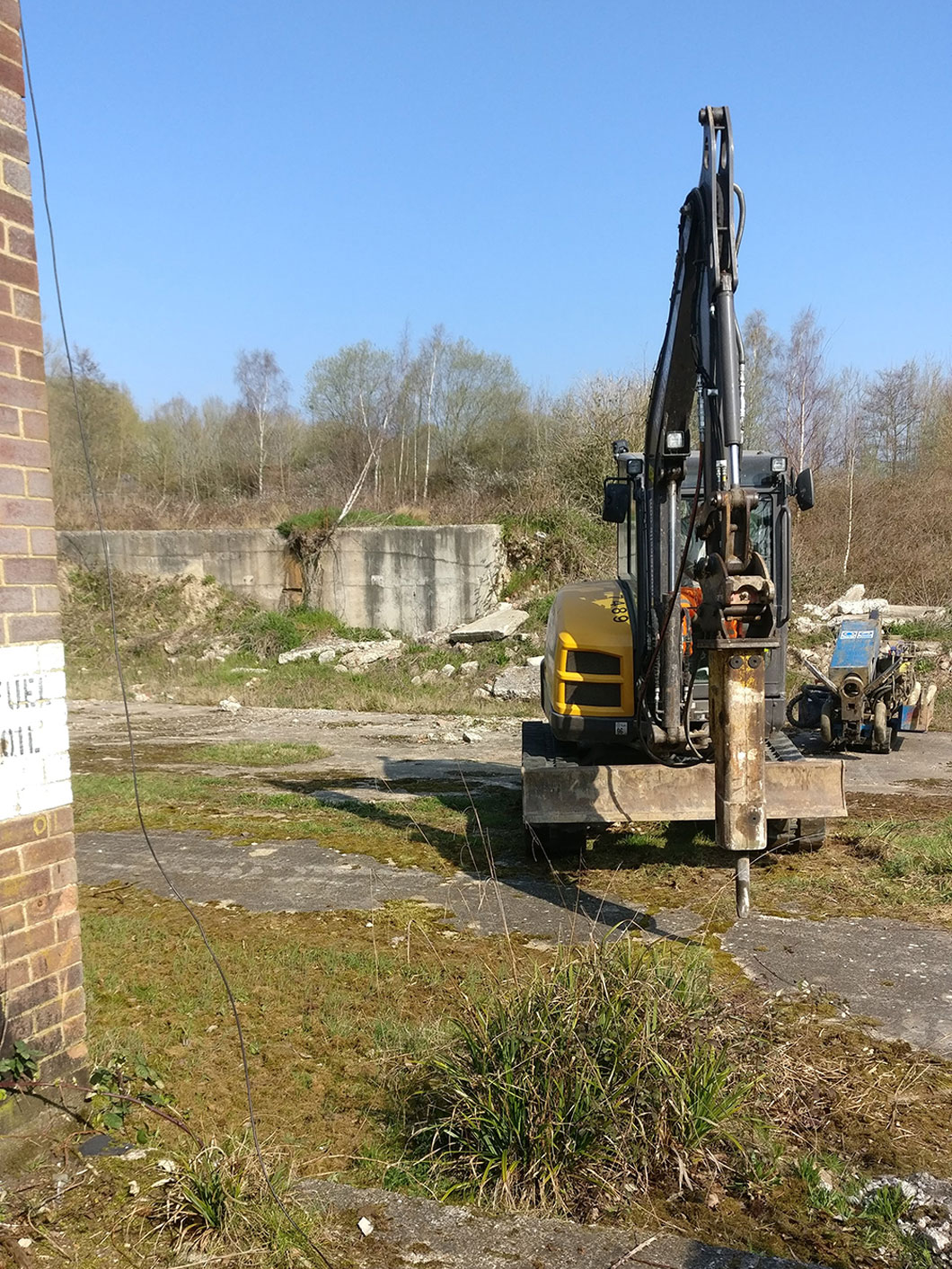
Geotechnical Support
Land science provides geotechnical investigations which will help you to make informed decisions about the design of pavements, foundations and drainage on your project. Our in-house geotechnical laboratory testing capability enables us to undertake a range of sample analysis in-house.
Where more specialised geotechnical testing is required, we have a range of trusted preferred partners that we call upon on a regular basis.

Land Science Ltd provides comprehensive geotechnical and environmental consultancy, ground investigation services and in-house geotechnical laboratory services.